
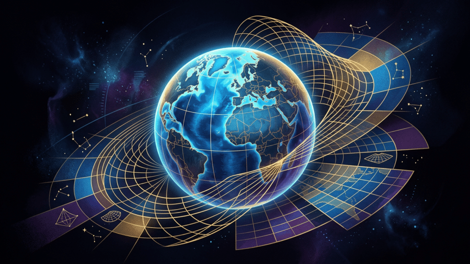
On 4 September 2026, the UN General Assembly adopted a resolution entitled “Correct the map”, encouraging wider use of equal-area map projections, especially Equal Earth, where comparing the sizes of continents matters. The news quickly spread under the headline “the UN is replacing the world map”. That wording is too categorical.
The UN has not banned the Mercator projection, imposed a single map on every country, or required schools in Romania to replace their atlases immediately. The resolution recommends using representations better suited to education, public awareness and geographic literacy where the relative size of regions is essential. Mercator remains useful for certain tasks, especially navigation.
What the UN voted on on 4 September 2026
The text, adopted with 164 votes in favour, one against and six abstentions, calls for promoting a fairer cartographic representation of the world’s regions, with particular attention to Africa. The resolution identifies equal-area projections as an appropriate solution for maps that need to compare the extent of continents and specifically mentions the Equal Earth projection.
Why Africa? On a classic Mercator map, areas far from the Equator are progressively enlarged. Greenland can therefore appear close in size to Africa, even though Africa covers approximately 30.3 million square kilometres and Greenland about 2.16 million square kilometres. In other words, Africa is around 14 times larger. The Mercator map does not get this “wrong” by accident: the distortion is the predictable mathematical consequence of projecting a curved surface onto a plane.
The resolution does not change borders, determine the political status of territories, or make Equal Earth a mandatory standard for GPS, navigation, nautical charts or digital applications. The European Union representative stressed during the UN debate that the scope of the text is limited to education, information and geographic culture.
Why Mercator makes some countries look huge
Gerardus Mercator published his famous projection in 1569. Its purpose was highly practical for navigators: constant-direction routes, known as rhumb lines, appear as straight lines. A sailor could plot a course on the map, measure its angle from north and follow it with a compass.
The cost of this property is area distortion. On Mercator, scale increases rapidly towards the poles. An island or country at northern or southern latitudes acquires a disproportionately large visual area. Canada, Russia and Greenland are the examples that most often draw attention; Europe, too, appears more extensive than it would in a comparison of actual areas.
Romania, located around the 45th parallel north, is also enlarged on a world Mercator map, although the effect is far less dramatic than in Greenland’s case. The distortion is not about a country’s value or importance. It is about geometry: the farther from the Equator, the more the Mercator map expands areas.
Does Equal Earth show the “truth”? Yes for area, not for everything
Equal Earth is a world map projection created in 2018 by cartographers Bojan Šavrič, Tom Patterson and Bernhard Jenny. It is an equal-area projection: it preserves the proportions between areas. If Africa is approximately 14 times larger than Greenland on the globe, the same relationship is maintained on an Equal Earth map.
In the same context, see also Little Saint Mary 2026: when the Nativity of the Mother of God falls, traditions and what not to do, which offers further relevant information.
That does not mean Equal Earth is a perfect photograph of the Earth. No flat map can simultaneously preserve area, shape, distance and direction for every point on the globe. Equal Earth corrects the problem of area comparison, but changes outlines and angles, especially towards the edges of the world map.
| Type of representation | What it preserves better | What it distorts or limits | When it is suitable |
|---|---|---|---|
| Mercator | Local angles and directions; rhumb lines are straight | Areas grow sharply towards the poles | Navigation and maps that emphasise direction |
| Equal Earth | The area proportions of continents and countries | Shapes, angles and some distances | Education, global area comparisons and territory-related thematic maps |
| Globe | Overall shape, areas and relative positions at the global scale | Cannot be consulted as easily as a flat map; shows only one hemisphere at a time | An intuitive understanding of the Earth as a planet |
| Winkel Tripel or Robinson | A visual compromise between several types of distortion | Preserves neither areas nor angles exactly | General atlases and presentations of the world |
The International Cartographic Association’s Commission on Map Projections puts the point plainly: there is no single “correct” projection for every purpose. It recommends equal-area projections when a map communicates the size of territories or data closely linked to area, such as land cover or certain climate phenomena. By contrast, a map for navigation or one focused on distances requires different properties.
Why it is not right to call Mercator a “false map”
It is fair to say that Mercator is a poor choice for comparing the sizes of continents on a world map. It is not fair to say that the projection is useless or that it was a mistake. It solves a specific problem very well: preserving angles. That is precisely why it was historically so important for maritime navigation.
Confusion arises when a map designed for a particular purpose becomes the default image of the world in textbooks, on screens and in general presentations. Someone who spends years seeing Africa as apparently smaller than North America, or Greenland as almost comparable to it, may come to estimate geographic proportions incorrectly, even if they know the map is a convention.
But an equal-area map does not automatically solve every problem of representation either. If a map colours countries by total population, total carbon emissions or total GDP, simply switching to Equal Earth does not make the comparison perfect. Very large political areas still draw the eye, even if the indicator displayed does not depend on their area. In such cases, per-capita rates, densities or cartograms—in which a country’s size is deliberately modified according to the indicator being examined—may be more useful.
What changes for schools, the media and digital maps
In practice, the UN resolution is an invitation to governments, educational institutions, publishers and technology companies to choose the map they use more carefully. For a textbook explaining the proportions of continents, Equal Earth or another equivalent projection has a clear advantage over Mercator. For a lesson on maritime routes, Mercator remains meaningful.
Digital maps also frequently use the Web Mercator variant because it is technically convenient for displaying and rapidly loading maps across zoom levels. Yet at local scales—for example, when following an address, a route or an area in Romania—global distortion is not the central issue. At city or county level, users mainly need readability, positioning and up-to-date data.
Moreover, the UN Secretariat did not previously operate with a single mandatory projection for all its maps. In its geospatial documentation, the organisation indicates the use of compromise projections such as Robinson, Winkel Tripel or Eckert IV for many world maps, while for regional and national maps the choice depends on the area and intended use.
What the decision means for Romania
This resolution creates no automatic obligation for ministries, teachers, publishers or atlas producers in Romania. Any change made by an institution would be a matter of its own educational and editorial policy. The most reasonable outcome would be the use of several types of maps, each clearly labelled with its projection and purpose.
For pupils, the important lesson is not to memorise that one map is “good” and another is “bad”. It is to ask: what is this map trying to preserve? If the answer is area, Mercator should be viewed with caution. If the answer is direction, it may be the right tool. If we want to see the planet with as few visual compromises as possible, the globe remains the point of comparison.
Verdict: the UN recommends a better choice, not a new world map
The claim that “the UN replaced the Mercator map” is exaggerated. The confirmed fact is more nuanced and more useful: on 4 September 2026, the UN General Assembly encouraged equal-area projections, especially Equal Earth, in situations where the relative size of continents matters. Mercator is not disappearing, but it should not be treated as the neutral and universal image of the world.
The relevant change is not merely one of design. It is the habit of reading a map as a tool with advantages and limitations, rather than as the Earth itself.
Frequently asked questions
Did the UN ban the Mercator projection?
No. The resolution adopted on 4 September 2026 encourages wider use of equal-area projections in certain contexts, but it does not ban Mercator or impose a single map on all states.
Why does Greenland look so large on a Mercator map?
Mercator progressively enlarges areas as they approach the poles. Greenland is located at high latitudes, so it appears much larger than it is in relation to Africa.
Is Equal Earth the perfect world map?
No. Equal Earth correctly preserves the relationship between areas, but distorts shapes, angles and some distances. Every flat map involves trade-offs.
Why is Mercator still used?
The Mercator projection preserves angles and makes constant-direction routes appear as straight lines, properties that are particularly useful for navigation.
Are schools in Romania required to change their maps?
No automatic obligation for Romania follows from this. The UN resolution is a recommendation to use projections more carefully, particularly in education and in communicating geographic comparisons.


Discuția cititorilor
Ai o opinie sau o întrebare despre acest articol? Spune-ne ce crezi.
Fii primul care deschide discuția.
Te rugăm să păstrezi un limbaj civilizat și să discuți la subiect. Comentariile spam sunt filtrate automat.